Detailed description of Shady Bend Golf Course
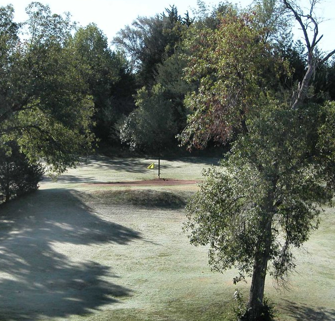
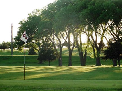
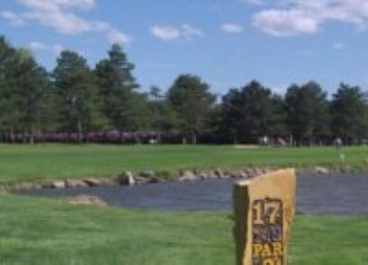
Shady Bend Golf Course is a Public 18 holes golf course located in Osborne, Kansas.
Shady Bend Golf Course first opened for play in 1992. The course was designed by Vince Peterson.
Par for the course is 36. From the back tees the course plays to 7554 yards. From the forward tees the course measures 3069 yards. The longest hole on the course is # 1, a par-5 that plays to 501 Yards. The shortest hole on the course is # 7, a par-3 that plays to 125 yards from the back tees.
If the U.S. is the center of golf, and if Osborne is the center of the U.S., that must mean that Shady Bend is...read on
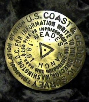
In 1910 a point atop a hill in the southeast corner of Osborne County in what was then known as Meade's Ranch was selected by U.S. Geodetic Survey as the center point for its grid of survey dots and lines across the nation. In 1927 both Canada and Mexico attached their grids to this point as well, and it received the official name as the North American Datum. More commonly called the Geodetic Center of North America, all surveys and deeds on the continent originate from this point. This unique site was named to the National Register of Historic Places in 1973. It is currently on private property. A replica of the marker, located 18 miles southeast of Osborne, can be found beneath the State Historical Marker in Osborne's Roadside Park at the junction of Highways 24 and 281. Open daily dawn to dusk.
Latest Golf Course Reviews
-
1
by Brian Clark 2023-10-08
-
2
by Brian Clark 2023-10-08
-
3
by Brian Clark 2023-10-08
-
4
by soundhar G 2023-10-07
-
5
by Brian Clark 2023-10-05
-
6
by Brian Clark 2023-10-05

